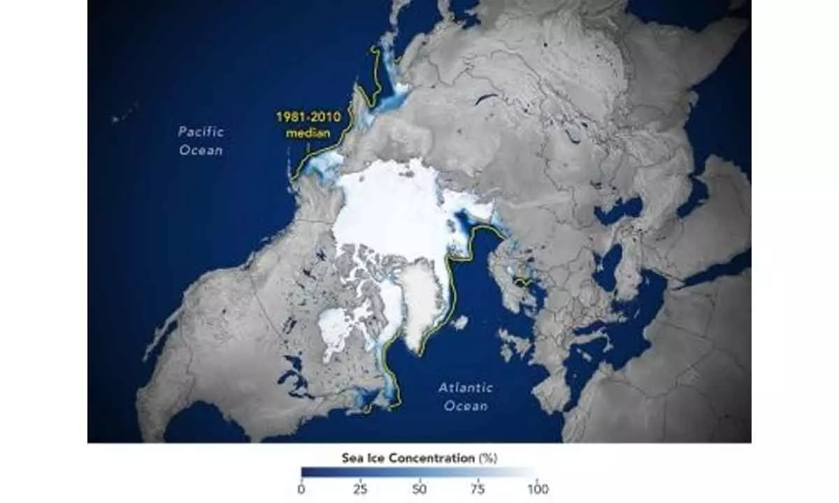
NASA records 6th lowest Arctic sea ice
Ice cover in the Arctic shrank from a peak area of 14.62 mn square kilometres to 4.23 mn square km
image for illustrative purpose

This year in the Arctic, scientists saw notably low levels of ice in the Northwest Passage, said Walt Meier, a sea ice scientist at NSIDC
Washington: Rising global temperatures caused Arctic sea ice to reach its annual minimum extent on September 19, making it the sixth-lowest year in the satellite record, according to researchers at NASA and the National Snow and Ice Data Center (NSIDC).
The findings, made using satellite data, showed that between March and September, the ice cover in the Arctic shrank from a peak area of 14.62 million square kilometres to 4.23 million square kilometres.
That’s roughly 1.99 million square kilometres below the 1981-2010 average minimum of 6.22 million square kilometres. The amount of sea ice lost was enough to cover the entire continental US, said the researchers. This year in the Arctic, scientists saw notably low levels of ice in the Northwest Passage, said Walt Meier, a sea ice scientist at NSIDC.
“It is more open there than it used to be. There also seems to be a lot more loose, lower concentration ice -- even toward the North Pole -- and areas that used to be pretty compact, solid sheets of ice through the summer. That’s been happening more frequently in recent years.”
Meier said the changes are a fundamental, decades-long response to warming temperatures.

