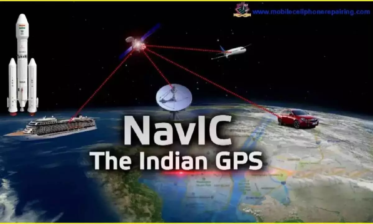
Decoding NavIC: India's Regional Navigation System and Its Potential Impact on GPS
NavIC, the regional satellite navigation system developed by the Indian Space Research Organisation (ISRO), achieved full operational capability in April 2018 with the launch of its seventh satellite.
image for illustrative purpose

NavIC, the regional satellite navigation system developed by the Indian Space Research Organisation (ISRO), achieved full operational capability in April 2018 with the launch of its seventh satellite. This navigation system's development commenced in July 2013, starting with the launch of its first satellite, IRNSS-1A.
NavIC primarily covers India and its surrounding region, extending approximately 1,500 kilometers beyond India's borders. Its coverage area encompasses India, the entire Indian Ocean region, parts of South Asia, Southeast Asia, and the Middle East.
NavIC serves two key purposes: it offers a standard position service (SPS) for civilian users and a restricted service (RS) for strategic users, as per ISRO.
When comparing NavIC to other prominent global navigation systems, it's important to note that NavIC currently consists of seven operational satellites, while systems like GPS (United States), GLONASS (Russia), Beidou (China), and QZSS (Japan) have larger satellite constellations.
In terms of coverage, NavIC focuses on India and its vicinity, whereas GPS, GLONASS, and Beidou provide global coverage, and QZSS is centered on Japan and the Asia Pacific region.
NavIC does hold an advantage in terms of accuracy within its coverage area. It offers a positioning accuracy of 3 meters, depending on signal strength and satellite availability, while GPS has an accuracy of 5 meters. Additionally, NavIC is available in two frequency bands (S and L band), whereas GPS operates solely in the L-band.
ISRO has plans to further enhance NavIC by launching additional satellites and expanding its coverage to a global scale.

