Begin typing your search...
K’taka awards largest drone-based land mapping contract
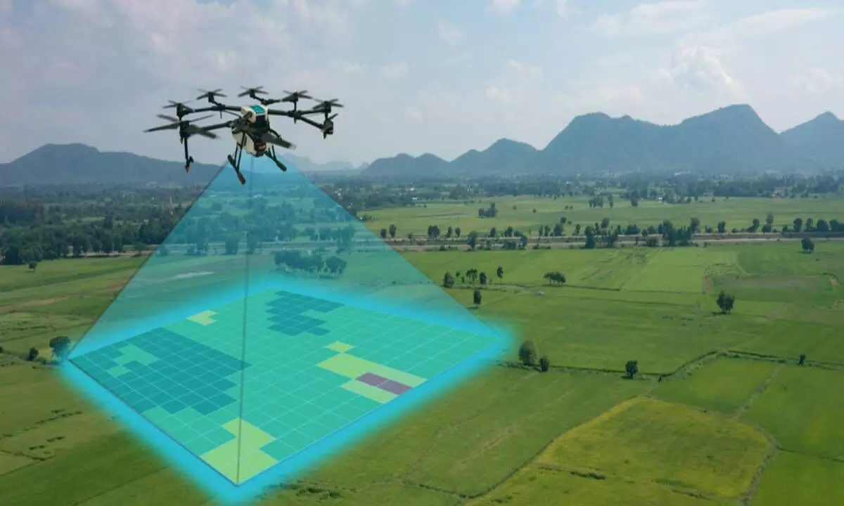
image for illustrative purpose

Bengaluru: Geospatial organisations Allterra and NeoGeo said on Wednesday that they have collaboratively won the "largest-ever" drone-based land parcel mapping contract through an open tender process from the Karnataka government. The project covers an area of 68,000 sq km and 10 districts in Karnataka – Gadag, Koppal, Kodagu, Chamarajanagar, Chikkamagaluru, Vijayapura, Yadgir, Raichur, Bidar, and Kalaburagi, the companies said in a statement. Both companies have chosen Aereo (formerly Aarav Unmanned Systems) as their technology partner for this project, which will be done using Aereo's state-of-the-art drone solutions.

