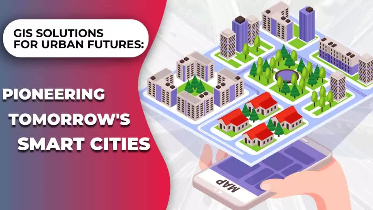
GIS Technology To Impact Future Of Smart Cities And Urban Planning
The market landscape is bound to be dominated by two shifts-automation and disruption
GIS Technology To Impact Future Of Smart Cities And Urban Planning

The convergence of Geospatial with Big Data, AI, MI and, most importantly, space, will create innumerable opportunities, imbue dynamism, spawn innovation, and deliver better grass-root solutions across sectors ranging from agriculture, supply chains, to logistics, and defence
Geospatial is critical for planning and designing smarter, greener, safer, disaster-resilient cities, and maintaining them. The future of cities will be powered by digitally-enabled citizen services, solutions, and the ever growing intersection between humans and technology.
Geospatial data and insights serve as the central node empowering city authorities and other stakeholders to get a clear picture of the various indices and parameters that are indispensable for the robust functioning of a modern city.
From site selection for utilities such as electricity, water, and telecom, to ensuring internet connectivity, to tracking pollution, monitoring public health, or planning more sustainable mobility pathways, the utility of geospatial is immense. New age innovations in data analytics, AI, and IoT will only augment it.
Talking to Bizz Buzz, Sanjay Kumar, founder and CEO, Geospatial World, says, “The future market landscape is going to be dominated by two shifts: automation and disruption. However, there’s one more underrated trend where geospatial is at the core: technology convergence underpinned by customized platforms and on-demand solutions rather than generic services.”
Going further, he said, “We are already witnessing the impact of Generative AI on various sectors, and industries vying to offer the best-in-class, immersive experience to their customers. Those who want to stay ahead of the curve in this scenario will have to embrace digital transformation and embed geospatial visualization faster than others.”
With the manifold rise in fast connectivity, cloud storage, and AI powered analytics, the value of Geospatial will increase exponentially over the years. This would be an opportunity that industries across sectors would eye at capitalizing. As per the Global Geospatial Industry Outlook report (GeoBuiz) 2023, the global geospatial market is expected to hit a whopping $1.44 trillion USD by 2030.
The convergence of Geospatial with Big Data, AI, MI and, most importantly, space, will create innumerable opportunities, imbue dynamism, spawn innovation, and deliver better grass-root solutions across sectors ranging from agriculture, supply chains, to logistics, and defence.
A lot of big-ticket government projects across India aim at boosting infra connectivity, and thus fostering socio-economic growth.
The convergence of GIS and BIM is the way forward for the AEC (Architecture, Engineering, and Construction) sector, which is among the major pillars of growth and employment in the country.
Saurabh Rai, CEO, Arahas, says, “GIS technology will be at the heart of smart cities into the future, playing a critical role in transforming urban planning into a more dynamic, data driven process. In our work at Arahas, we've seen firsthand how GIS can help cities become more adaptive and resilient. For example, our Sustainability City Index has been implemented in Ayodhya, where it tracks critical urban metrics like air quality, water resources, greenery, and waste management. This GIS enabled index provides city planners with real-time data that informs decisions on infrastructure development, urban expansion, and environmental interventions.”
Geospatial policies have opened up greater access to satellite data and drone surveillance, enabling smart cities to map out urban growth while preserving natural resources. As cities grow, GIS technology will provide planners with the ability to forecast population growth, traffic patterns and environmental impacts, all within a unified platform. “We anticipate that in the next 510 years, GIS will not only be used for urban planning but also for creating real time ‘digital twins’ of cities that can simulate and optimize energy usage, water distribution, and even emergency response scenarios, making cities smarter and more sustainable,” he said.
Recent government initiatives like Digital India Land Records Modernization Programme (DILRMP) and the National Geospatial Policy, have been pivotal in promoting the use of GIS technology in infrastructure development and land management. Arahas is directly involved in leveraging these initiatives to modernize land records and enhance urban planning.
The future of GIS technology is incredibly promising, particularly as geospatial and drone policies continue to evolve.
“In the next 5-10 years, we expect GIS to move beyond static mapping to real-time, predictive analytics that will transform how cities are built, resources are managed, and environmental challenges are addressed,” he said.

