IIT Delhi Researchers Develop ML Tool To Map Landslides
This easy-to-use and tool ML-CASCADE requires an approximate date and location of a landslide event
IIT Delhi Researchers Develop ML Tool To Map Landslides

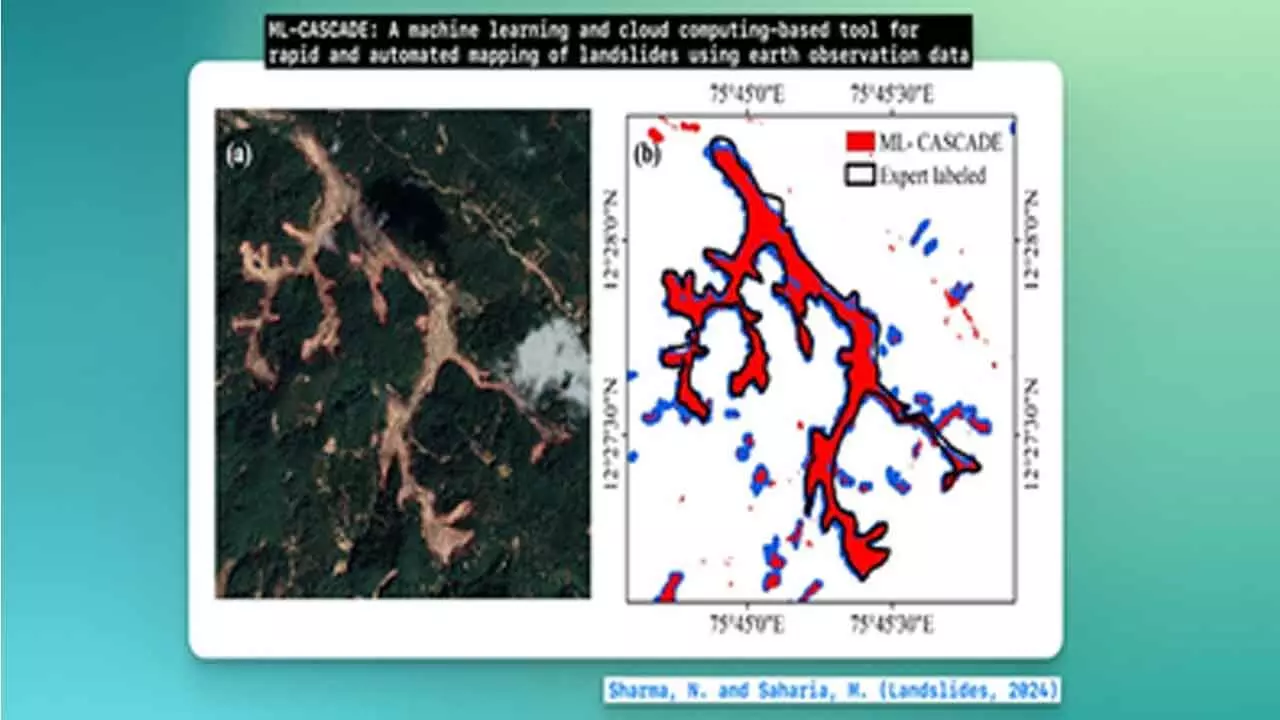
New Delhi: Researchers from the IIT Delhi on Monday announced the development of a ground-breaking cloud computing and machine learning-based tool that can help map a landslide's extent using satellite data.
This easy-to-use and publicly-available tool ML-CASCADE requires an approximate date and location of a landslide event.
In case of a complex cluster of landslides, the tool can accurately map it within five minutes. And for a simple landslide, it can map within two minutes -- critical for post-disaster damage assessment.
The underlying model, published in the prestigious Landslides journal, is trained on a large amount of satellite, terrain, vegetation, and soil data.
"Machine learning on geospatial data offers an unprecedented opportunity to overcome the drawbacks of index-based methods and integrate multiple diverse datasets to map landslides with high accuracy," said Prof. Manabendra Saharia, Civil Engineering Department, IIT Delhi.
Saharia explained that landslides have traditionally been mapped by manually digitising over satellite imagery, which is costly, inaccurate, and time-consuming.

